 It looks as though some counties in our area will be getting a bit of heat relief on Sunday, as several have been dropped from earlier issued heat advisories by the National Weather Service (NWS).
According to NWS, a heat advisory in effect from 1-9 p.m. Sunday includes Jewell and Mitchell counties. The heat index is expected to be 100 to 105 degrees in these counties, with the highest heat index values between 2-7 p.m.
Additionally, Clay, Cloud, and Republic counties remain in a heat advisory from 1-8 p.m. Sunday, as heat index values are expected to climb to 100 to 105 degrees.
Heat exhaustion and heat stroke will be more likely for those that do not take appropriate precautions or those who are more susceptible to heat, such as young children and elderly.. Pets and livestock will also be impacted by the heat. Measures should be taken for animal safety and comfort.
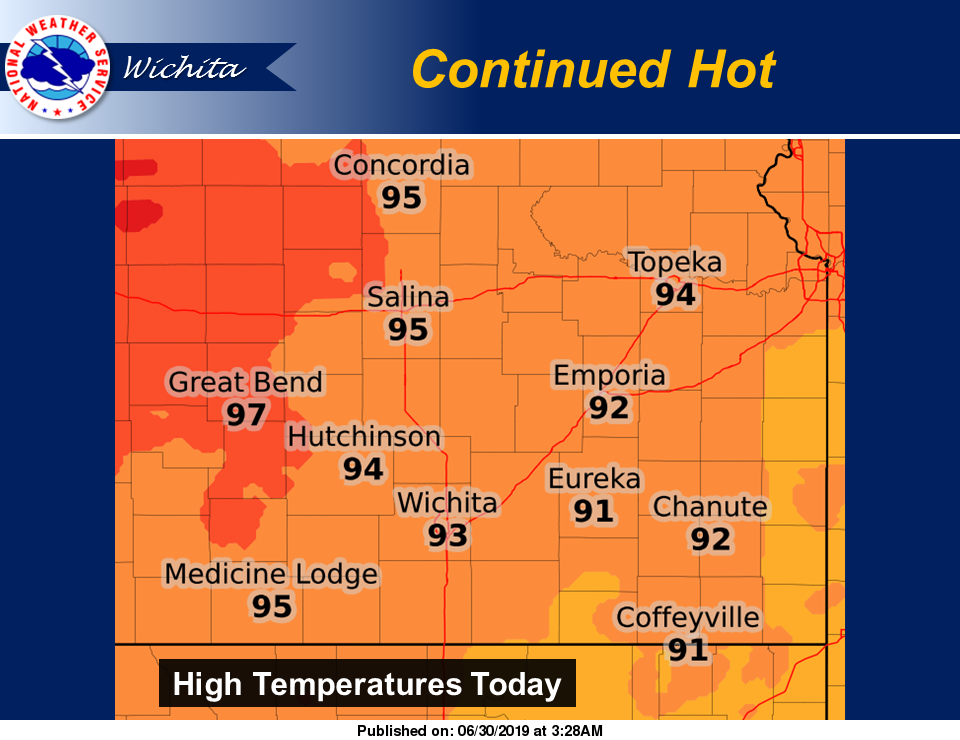
Here is the NWS forecast for the immediate Salina area:
Today
Sunny, with a high near 94. South wind 7 to 11 mph.
Tonight
Clear, with a low around 71. South wind 7 to 10 mph.
Monday
Mostly sunny, with a high near 92. South wind 8 to 13 mph, with gusts as high as 18 mph.
Monday Night
Mostly clear, with a low around 71. South wind 7 to 10 mph.
Tuesday
Sunny, with a high near 94. South wind 5 to 9 mph.
Tuesday Night
Partly cloudy, with a low around 71.
Wednesday
A 20-percent chance of showers and thunderstorms after 1 p.m. Mostly sunny, with a high near 94.
Wednesday Night
A 20-percent chance of showers and thunderstorms. Mostly cloudy, with a low around 72.
Independence Day
A 20-percent chance of showers and thunderstorms after 1 p.m. Mostly sunny, with a high near 95.
Thursday Night
A 20-percent chance of showers and thunderstorms. Partly cloudy, with a low around 72.
Friday
A 30-percent chance of showers and thunderstorms. Mostly sunny, with a high near 94.
Friday Night
A 40-percent chance of showers and thunderstorms. Mostly cloudy, with a low around 69.
Saturday
A 30-percent chance of showers and thunderstorms. Mostly cloudy, with a high near 89.