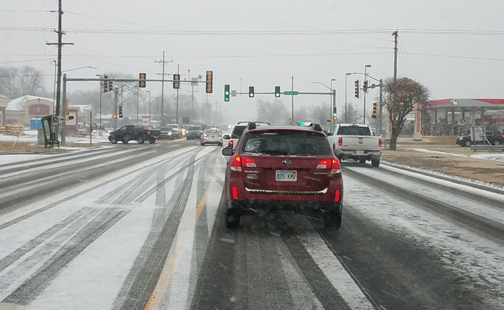
The winter weather advisory in effect for Salina and surrounding area has been extended again, this time to 3 a.m. Wednesday.
According to the National Weather Service in Wichita (NWSW), snow amounts will range from a trace to three inches, with the higher amounts expected along and north of Interstate 70. In addition, strong north winds gusting as high as 40 mph will combine with snow to create reduced visibilities. Light ice accumulations are also expected.
The sun is forecast to make an appearance on Wednesday with the high temperature expected to be near 40. With the northwest wind at 8 to 15 mph becoming west southwest in the morning and wind gusts reaching 22 mph, wind chill values could drop to -1.
Here’s the forecast for the rest of the week from NWSW:
Wednesday Night
Increasing clouds, with a low around 25. West wind 6 to 11 mph becoming north northwest after midnight.
Thursday
Mostly cloudy, then gradually becoming sunny, with a high near 31. North wind 10 to 15 mph, with gusts as high as 23 mph.
Thursday Night
Partly cloudy, with a low around 16. North wind 5 to 13 mph becoming south after midnight. Winds could gust as high as 21 mph.
Friday
Mostly sunny, with a high near 42.
Friday Night
Mostly cloudy, with a low around 20.
Saturday
Partly sunny, with a high near 40.
Saturday Night
Mostly cloudy, with a low around 27.
Sunday
Mostly sunny, with a high near 48.
Sunday Night
Partly cloudy, with a low around 28.