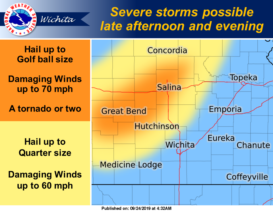
A weak frontal boundary is expected to push slowly southward into central Kansas by late Tuesday afternoon, bringing with it the possibility for severe storms.
According to the National Weather Service (NWS), scattered thunderstorms are expected to develop near the front during the late afternoon and evening hours.
A few of the storms could become severe with golf ball size hail, damaging winds up to 70 mph, and a tornado or two possible, NWS noted. In addition, heavy rainfall is also possible which could cause some minor flooding.
Scattered storm chances will affect the region for Wednesday through Sunday. A few strong to severe storms will be possible through this period, with Friday having better chances to see more numerous severe storms.