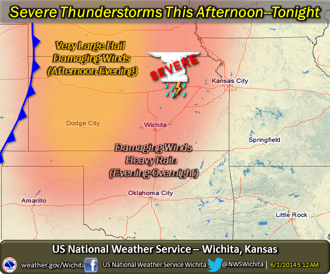
 Severe thunderstorms are expected to develop by mid to late afternoon over portions of western Kansas, northwest Oklahoma and southwest Nebraska, as a front and associated upper level disturbance approach from the west.
Very large hail in excess of 2 inches in diameter and damaging winds will be possible.
Activity is expected to congeal into one or two thunderstorm complexes and move into the eastern half of Kansas during the evening and overnight hours, with an attendant damaging wind and locally heavy rain threat.