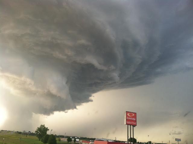


Thunderstorms began to form just before 6:00p.m. in Lincoln and Ottawa Counties and moved southeast affecting Saline, Clay, Dickinson, and Geary counties.
Golf ball size hail and egg size hail was reported in northeast Salina, and to the east of town. Golf ball hail also reported in northeast Ottawa County.
There was also a report of a brief funnel cloud northwest of Salina by a trained spotter about 7:10p.m. A spotter also reported 3-4 inch tree limbs were damaged northeast of Salina.
A Severe Thunderstorm Watch was issued for central Kansas until 3:00a.m. Monday morning.